Dardanelles landsat
Autor:
NASA
Credit:
Captured and cropped from NASA World Wind.
Krótki link:
źródło:
Wymiary:
737 x 584 Pixel (607097 Bytes)
Opis:
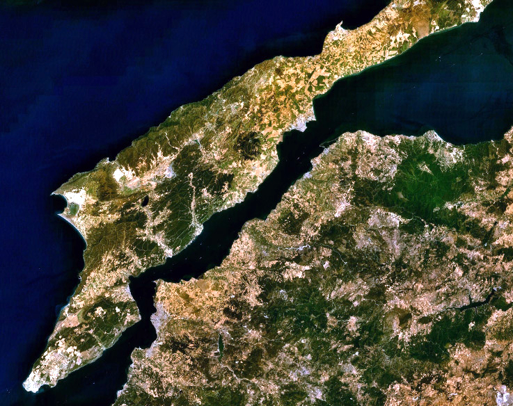
Landsat 7 image of the Dardanelles and Gallipoli Peninsula, Turkey.
Licencja:
Public domain
Komentarz do licencji:
|
|
This image is in the public domain because it is a screenshot from NASA’s globe software World Wind using a public domain layer, such as Blue Marble, MODIS, Landsat, SRTM, USGS or GLOBE.
|
|
Więcej informacji o licencji można znaleźć tutaj. Ostatnia aktualizacja: Mon, 11 Jul 2022 17:00:03 GMT