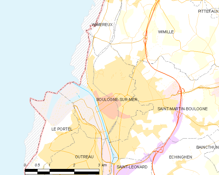
Map commune FR insee code 62160
Autor:
|
Map data (c) OpenStreetMap contributors, CC-BY-SA _French_municipality_map.svg) • Shape files infrastructure: railway, highways, water: all originally by OpenStreetMap contributors. Status december 2011 *note: shown commune boundaries are from OSM dump May 2012; at that time about 90% complete |
Attribution:
Obraz jest oznaczony jako „Wymagane uznanie autorstwa” (attribution required), ale nie podano żadnych informacji o uznaniu autorstwa. Prawdopodobnie parametr atrybucji został pominięty podczas korzystania z szablonu MediaWiki dla licencji CC-BY. Autorzy mogą znaleźć tutaj przykład prawidłowego korzystania z szablonów.
Credit:
derived work, see author details
Krótki link:
źródło:
Wymiary:
756 x 605 Pixel (56880 Bytes)
Opis:
Map commune FR insee code 62160.png
Licencja:
Warunki licencji:
Creative Commons Attribution 2.0
Więcej informacji o licencji można znaleźć tutaj. Ostatnia aktualizacja: Wed, 23 Nov 2022 07:03:15 GMT