Sarcophilus harrisii extent
Autor:
I did, using data from the IUCN redlist and a coastline of Australia from CloudMade Downloads.
Credit:
IUCN and CloudMade Downloads
Krótki link:
źródło:
Wymiary:
403 x 461 Pixel (15436 Bytes)
Opis:
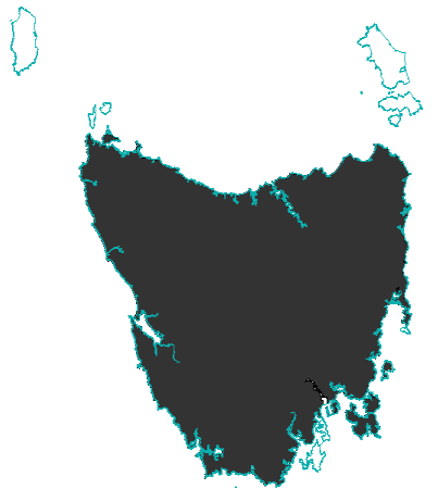
Map showing the extent of the Tasmanian Devil, made from data generated in 2008 by the IUCN, and using an Australian coastline vector from CloudMade Downloads. Shows the Tasmanian Devil's extent on the main island of Tasmania and Robbins Island.
http://www.iucnredlist.org/technical-documents/spatial-data
http://downloads.cloudmade.com/
Licencja:
Warunki licencji:
Creative Commons Attribution-Share Alike 3.0
Więcej informacji o licencji można znaleźć tutaj. Ostatnia aktualizacja: Thu, 05 Jan 2023 09:15:30 GMT