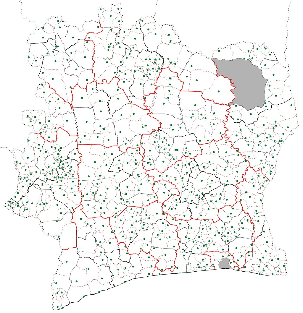
Sub-prefectures map Côte d'Ivoire
Autor:
Attribution:
Obraz jest oznaczony jako „Wymagane uznanie autorstwa” (attribution required), ale nie podano żadnych informacji o uznaniu autorstwa. Prawdopodobnie parametr atrybucji został pominięty podczas korzystania z szablonu MediaWiki dla licencji CC-BY. Autorzy mogą znaleźć tutaj przykład prawidłowego korzystania z szablonów.
Credit:
Praca własna
Krótki link:
źródło:
Wymiary:
4110 x 4250 Pixel (2667367 Bytes)
Opis:
Map of the sub-prefectures of Côte d'Ivoire. The dotted lines are the boundaries of the sub-prefectures and the green dot indicates the location of the settlement that is the seat of the sub-prefecture. District borders are in red; region borders are in bolded black; department boundaries are solid lines. Grey zones are areas of the country not governed by sub-prefectures (Abidjan city proper (south) and the portion of Comoé National Park in Zanzan District (north)).
Licencja:
Warunki licencji:
Creative Commons Attribution-Share Alike 4.0
Więcej informacji o licencji można znaleźć tutaj. Ostatnia aktualizacja: Tue, 16 Aug 2022 12:37:46 GMT
