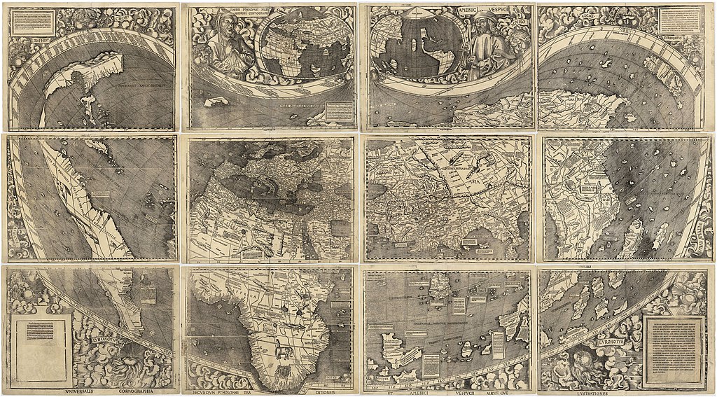
Waldseemuller map 2
Autor:
Krótki link:
źródło:
Wymiary:
13708 x 7590 Pixel (20608962 Bytes)
Opis:
Waldseemüller map from 1507 is the first map to include the name "America" and the first to depict the Americas as separate from Asia. There is only one surviving copy of the map, which was purchased by the Library of Congress in 2001 for $10 million.
Licencja:
Public domain
Więcej informacji o licencji można znaleźć tutaj. Ostatnia aktualizacja: Tue, 27 Dec 2022 14:46:47 GMT
