Alexandria (Szkocja)
| Ten artykuł od 2021-08 wymaga zweryfikowania podanych informacji. |
| ||
(c) william craig, CC BY-SA 2.0 Smollett Fountain, Alexandria | ||
| Państwo | ||
| Kraj | ||
| Hrabstwo | West Dunbartonshire | |
| Populacja (2004) • liczba ludności | 13 480 | |
| Kod pocztowy | G83 | |
Położenie na mapie West Dunbartonshire Contains Ordnance Survey data © Crown copyright and database right, CC BY-SA 3.0 | ||
Położenie na mapie Wielkiej Brytanii (c) Karte: NordNordWest, Lizenz: Creative Commons by-sa-3.0 de | ||
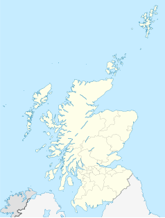
Położenie na mapie Szkocji | ||
| Portal | ||
Alexandria (gael. Cathair Alastair) – miasto w Szkocji, w hrabstwie West Dunbartonshire. Położone nad rzeką Leven, około 6 km na północny zachód od Dumbarton. Według szacunków w 2004 roku, Alexandria ma około 13,5 tysiąca mieszkańców.
Media użyte na tej stronie
(c) Karte: NordNordWest, Lizenz: Creative Commons by-sa-3.0 de
Location map of the United Kingdom
(c) Eric Gaba, NordNordWest, CC BY-SA 3.0
Location map of Scotland, United Kingdom
(c) william craig, CC BY-SA 2.0
Alexandria, Smollett Fountain.
Contains Ordnance Survey data © Crown copyright and database right, CC BY-SA 3.0
Blank map of West Dunbartonshire, UK with the following information shown:
- Administrative borders
- Coastline, lakes and rivers
- Roads and railways
- Urban areas
Equirectangular map projection on WGS 84 datum, with N/S stretched 175%
Geographic limits:
- West: 4.67W
- East: 4.36W
- North: 56.10N
- South: 55.88N


