Alford (Szkocja)
| ||
(c) Richard Slessor, CC BY-SA 2.0 Centrum Alford | ||
| Państwo | ||
| Kraj | ||
| Hrabstwo | Aberdeenshire | |
| Populacja (2011) • liczba ludności | 2142[1] | |
Położenie na mapie Aberdeenshire Contains Ordnance Survey data © Crown copyright and database right, CC BY-SA 3.0 | ||
Położenie na mapie Wielkiej Brytanii (c) Karte: NordNordWest, Lizenz: Creative Commons by-sa-3.0 de | ||
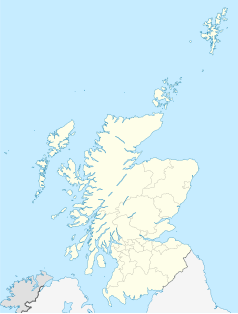
Położenie na mapie Szkocji | ||
| Portal | ||
Alford (scots Aaford, gael. Àthfort) – wieś w północno-wschodniej Szkocji, w hrabstwie Aberdeenshire, położona w dolinie Howe of Alford, na południowym brzegu rzeki Don. W 2011 roku liczyła 2142 mieszkańców[1].
Znajdują się tu zabytkowa kolej wąskotorowa Alford Valley Railway, muzeum transportu Grampian Transport Museum oraz sztuczny stok narciarski[2].
Przypisy
- ↑ a b Area Profiles: Alford (ang.). W: Census Data Explorer [on-line]. Scotland's Census. [dostęp 2019-02-10].
- ↑ Alford (ang.). Undiscovered Scotland. [dostęp 2019-02-12].
Media użyte na tej stronie
(c) Karte: NordNordWest, Lizenz: Creative Commons by-sa-3.0 de
Location map of the United Kingdom
Contains Ordnance Survey data © Crown copyright and database right, CC BY-SA 3.0
Blank map of Aberdeenshire, UK with the following information shown:
- Administrative borders
- Coastline, lakes and rivers
- Roads and railways
- Urban areas
Equirectangular map projection on WGS 84 datum, with N/S stretched 180%
Geographic limits:
- West: 3.85W
- East: 1.70W
- North: 57.75N
- South: 56.70N
(c) Richard Slessor, CC BY-SA 2.0
Main Street, Alford Taken at the junction with Greystone Road.
(c) Eric Gaba, NordNordWest, CC BY-SA 3.0
Location map of Scotland, United Kingdom


