Banmaw (dystrykt)
| dystrykt | |
| Państwo | |
|---|---|
| Stan | |
| Populacja (2014[1]) • liczba ludności |
|
| 24°15′N 97°15′E/24,250000 97,250000 | |
Banmaw (birm.: ဗန်းမော်ခရိုင်, ang. Bhmao District) – dystrykt w Mjanmie, w stanie Kaczin.
Dystrykt leży w południowej części stanu, nad rzeką Irawadi[2].
Według spisu z 2014 roku zamieszkuje tu 346 520 osób, w tym 171 077 mężczyzn i 175 443 kobiety, a ludność miejska stanowi 31,3% populacji[1].
Dystrykt dzieli się na 4 townships: Banmaw, Shwegu, Momauk, Mansi oraz 3 subtownships: Myohla, Lwe’ge' i Dotphoneyan[1].
Przypisy
- ↑ a b c The 2014 Myanmar Population and Housing Census. The Union Report. Census Report Volume 2. Nay Pyi Taw: Department of Population Ministry of Immigration and Population, maj 2015.
- ↑ Bhmao District, Myanmar (Birma). [w:] Google Maps [on-line]. [dostęp 2016-07-23].
Media użyte na tej stronie
Autor: Uwe Dedering, Licencja: CC BY-SA 3.0
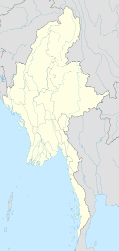
Location map of Myanmar. Equirectangular projection. Strechted by 105.0%. Geographic limits of the map: * N: 29.0° N * S: 9.0° N * W: 92.0° E * E: 102.0° E Made with Natural Earth. Free vector and raster map data @ naturalearthdata.com.


