Biełuszja Guba
| Państwo | |
|---|---|
| Obwód | |
| Populacja (2010) • liczba ludności |
|
| Nr kierunkowy | 495 |
| Kod pocztowy | 163055 |
| Portal | |
Biełuszja Guba – osiedle typu miejskiego w Rosji, w obwodzie archangielskim, na Nowej Ziemi. W 2010 roku liczyło 1972 mieszkańców.
Przypisy
Media użyte na tej stronie
Autor: Uwe Dedering, Licencja: CC BY-SA 3.0
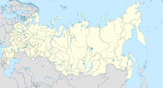
Location map of Russia.
EquiDistantConicProjection : Central parallel :
* N: 54.0° N
Central meridian :
* E: 100.0° E
Standard parallels:
* 1: 49.0° N
* 2: 59.0° N
Made with Natural Earth. Free vector and raster map data @ naturalearthdata.com.
Because the southern Kuril islands are claimed by Russia and Japan, they are shown as disputed. For more information about this see: en:Kuril Islands dispute. These islands are since 1945 under the jurisdiction of the Russian Federation.
Флаг Архангельской области
Autor: Nzeemin, Licencja: CC BY-SA 2.0
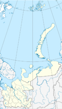
Administrative map of Arkhangelsk Oblast, including Nenets Autonomous Okrug, Novaya Zemlya and Franz Josef Land.
- Projection: Equidistant conic projection
- Longitude and latitude of the projection center: 50 / 65
- Two standard parallels: 60 / 75
- Projection and coords for GMT: -JD50/65/60/75/8 -R37/60/85.8/80.4r
- Tools: GMT, Inkscape


