Castéra-Lectourois
| miejscowość i gmina | |
 | |
| Państwo | |
|---|---|
| Region | |
| Departament | |
| Okręg | |
| Kod INSEE | 32082 |
| Powierzchnia | 18,54 km² |
| Populacja (1990) • liczba ludności |
|
| • gęstość | 13 os./km² |
| Kod pocztowy | 32700 |
| Portal | |
Castéra-Lectourois – miejscowość i gmina we Francji, w regionie Oksytania, w departamencie Gers.
Według danych na rok 1990 gminę zamieszkiwało 241 osób, a gęstość zaludnienia wynosiła 13 osób/km² (wśród 3020 gmin regionu Midi-Pireneje Castéra-Lectourois plasuje się na 822. miejscu pod względem liczby ludności, natomiast pod względem powierzchni na miejscu 613.).
Bibliografia
- Francuski urząd statystyczny (fr.).
Media użyte na tej stronie
Autor: Superbenjamin, Licencja: CC BY-SA 4.0
Blank administrative map of France for geo-location purpose, with regions and departements distinguished. Approximate scale : 1:3,000,000
Autor: Flappiefh, Licencja: CC BY-SA 4.0
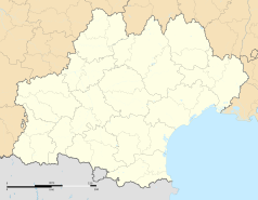
Carte administrative vierge de la région Languedoc-Roussillon-Midi-Pyrénées, France, destinée à la géolocalisation.
Autor: Boldair, Licencja: CC BY-SA 4.0
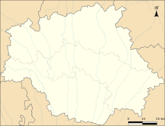
Limites administratives du Gers pour géolocalisation.
Autor: Autor nie został podany w rozpoznawalny automatycznie sposób. Założono, że to Dfarreny (w oparciu o szablon praw autorskich)., Licencja: CC-BY-SA-3.0
Vue sur l'église depuis la rue centrale de Castéra-Lectourois (département du Gers, France). Copyright (c) 2006 David Farreny. Permission vous est donnée de copier, distribuer et/ou modifier ce document selon les termes de la Licence GNU Free Documentation License, Version 1.2 ou ultérieure publiée par la Free Software Foundation ; sans sections inaltérables et sans pages de couverture. [1] Permission is granted to copy, distribute and/or modify this document under the terms of the GNU Free Documentation License, Version 1.2 or any later version published by the Free Software Foundation; with no Invariant Sections, no Front-Cover Texts, and no Back-Cover Texts. [2]


