Chociw Łaski
 | |
| Państwo | |
|---|---|
| Województwo | |
| Miejscowość | |
| Poprzednie nazwy | Widawa |
| Dane techniczne | |
| Liczba peronów | 2 |
| Kasy |
|
| Linie kolejowe | |
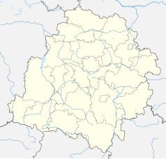
Położenie na mapie Polski (c) Karte: NordNordWest, Lizenz: Creative Commons by-sa-3.0 de | |
| Portal | |
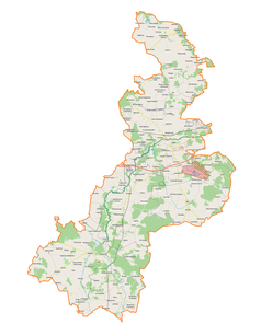
Chociw Łaski – jedna ze stacji kolejowych na magistrali węglowej w Kolonii Zawadach (powiat łaski). Przez stację przejeżdżają tylko pociągi towarowe.
Linki zewnętrzne
- Chociw Łaski w Ogólnopolskiej Bazie Kolejowej – bazakolejowa.pl
- Chociw Łaski w Atlasie Kolejowym Polski, Czech i Słowacji – www.atlaskolejowy.net
| Chociw Łaski | ||
| Linia 131 Chorzów Batory – Tczew (146,560 km) | ||
odległość: 10,095 km | odległość: 6,358 km | |
Media użyte na tej stronie
Poland adm location map.svg
(c) Karte: NordNordWest, Lizenz: Creative Commons by-sa-3.0 de
Location map of Poland
(c) Karte: NordNordWest, Lizenz: Creative Commons by-sa-3.0 de
Location map of Poland
Łódź Voivodeship location map.svg
Autor: SANtosito, Licencja: CC BY-SA 4.0
Location map of Łódź Voivodeship. Geographic limits of the map:
Autor: SANtosito, Licencja: CC BY-SA 4.0
Location map of Łódź Voivodeship. Geographic limits of the map:
- N: 52.45 N
- S: 50.78 N
- W: 17.95 E
- E: 20.75 E
BSicon KBHFl.svg
head station, track to the left
head station, track to the left
BSicon KBHFaq.svg
head station, track to the left
head station, track to the left
BSicon STRq.svg
Straight line aqross (according to naming convention, name + modifier)
Straight line aqross (according to naming convention, name + modifier)
BSicon BHFq.svg
station at track aqross
station at track aqross
BSicon KBHFr.svg
head station, track to the right
head station, track to the right
BSicon KBHFeq.svg
head station, track to the right
head station, track to the right
Linie kolejowe w Polsce. D29-131 - Chociw Łaski.jpg
Autor: PTER19, Licencja: CC BY-SA 4.0
Stacja Chociw Łaski
Autor: PTER19, Licencja: CC BY-SA 4.0
Stacja Chociw Łaski


