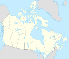
Fort Saskatchewan
 | |
| Państwo | |
|---|---|
| Prowincja | |
| Burmistrz | Jim Sheasgreen |
| Powierzchnia | 48,12 km² |
| Wysokość | 624 m n.p.m. |
| Populacja (2006) • liczba ludności • gęstość |
|
| Nr kierunkowy | 780 |
| Kod pocztowy | T8L |
| Strona internetowa | |
| Portal | |
Fort Saskatchewan – miasto w Kanadzie, w prowincji Alberta, leżący przy granicy Edmonton, nad rzeką Saskatchewan Północny.
Urodzeni w mieście
- Evangeline Lilly (ur. 1979) – kanadyjska aktorka
- Joffrey Lupul (ur. 1983) – kanadyjski hokeista
Media użyte na tej stronie
Flag of Canada introduced in 1965, using Pantone colors. This design replaced the Canadian Red Ensign design.
Autor: Hanhil (talk) 05:35, 24 September 2009 (UTC), Licencja: CC BY-SA 3.0
Location map of Alberta, Canada, showing the 19 census divisions.
Equirectangular projection, N/S stretching 170%. Geographic limits of the map:
- N: 60.3° N
- S: 48.7° N
- W: 123.0° W
- E: 107.0° W
Autor: Kmw2700, Licencja: CC BY-SA 4.0
Photograph of the Fort Saskatewan Public Library and City Hall building_31-Dec-2016_4224x2376px.JPG
Autor: Yug, Licencja: CC-BY-SA-3.0
cropped version of Carte administrative du Canada.svg for map location.
Flag of Alberta.


