Fränkische Rezat
 w Spalt | |
| Kontynent | Europa |
|---|---|
| Państwo | |
| Kraj związkowy | |
| Rzeka | |
| Długość | 77 km |
| Źródło | |
| Miejsce | Oberdachstetten |
| Współrzędne | 49°25′39,0″N 10°23′47,0″E/49,427500 10,396400 |
| Ujście | |
| Recypient | Rednitz |
| Miejsce | Georgensgmünd |
| Współrzędne | 49°11′17,5″N 11°01′19,9″E/49,188200 11,022200 |
Fränkische Rezat – rzeka w Bawarii, lewy dopływ Rednitz.
Bibliografia
- Werner A. Widmann: Fränkische + Schwäbische Rezat: Flusstäler in Franken, ISBN 3-922175-28-7
Media użyte na tej stronie
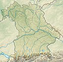
Bavaria relief location map.jpg
Autor: Grundkarte TUBS, Relief Alexrk2, Licencja: CC BY-SA 3.0
Physical Location map Bavaria, Germany. Geographic limits of the map:
Autor: Grundkarte TUBS, Relief Alexrk2, Licencja: CC BY-SA 3.0
Physical Location map Bavaria, Germany. Geographic limits of the map:
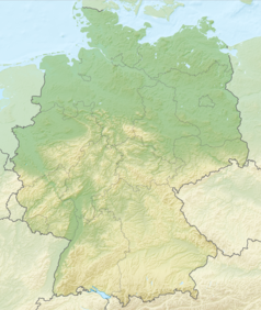
Relief Map of Germany.png
Autor: derivative work Виктор_В, Licencja: CC BY-SA 3.0
Relief map of Germany
Autor: derivative work Виктор_В, Licencja: CC BY-SA 3.0
Relief map of Germany
SpaltRezatHB01.jpg
Autor: Hubert Berberich (HubiB), Licencja: CC BY 3.0
River Rezat, near Spalt, 4 pictures stitched
Autor: Hubert Berberich (HubiB), Licencja: CC BY 3.0
River Rezat, near Spalt, 4 pictures stitched


