Góra Newtona
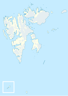
 Mapa Spitsbergenu z zaznaczoną Górą Newtona | |
| Państwo | |
|---|---|
| Terytorium zależne | |
| Położenie | Svalbard |
| Wysokość | 1713[1] lub 1717[2] m n.p.m. |
| Wybitność | 1717 m |
Góra Newtona (norw. Newtontoppen) – szczyt (nunatak) we wschodniej części wyspy Spitsbergen. Jest to najwyższy szczyt Svalbardu, terytorium zależnego Norwegii[3].
Przypisy
- ↑ Newtontoppen
- ↑ "Europe: Atlantic Islands Ultra-Prominences" Peaklist.org (dostęp 2012-04-08)
- ↑ Newtona, Góra, [w:] Encyklopedia PWN [online] [dostęp 2019-03-26].
Media użyte na tej stronie
Black up-pointing triangle ▲, U+25B2 from Unicode-Block Geometric Shapes (25A0–25FF)
Autor: NordNordWest, Licencja: CC BY-SA 3.0
Location map of Svalbard, Norway
Map detailing the marine features of Spitsbergen in the Svalbard archipelago. Settlements are indicated and labelled. See also Image:Spitsbergen settlements mountains and marine features labelled.png. Locations were labelled based on detailed maps from svalbard-images.com (sample of south Spitsbergen linked), cross-referenced with other map sources. Norwegian Polar Institute figures were used for mountain names and heights, which are given in meters above sea level.
Autor: The source file is from Uwe Dedering, Licencja: CC BY-SA 3.0
Relief location map of the Arctic Ocean.
- Projection: Azimuthal equidistant projection.
- Area of interest:
- N: 90.0° N
- S: 70.0° N
- W: -180.0° E
- E: 180.0° E
- Projection center:
- NS: 90° N
- WE: 0° E


