Gallup
| ||||
 Teatr El Morro w Gallup | ||||
| ||||
| Państwo | ||||
|---|---|---|---|---|
| Stan | ||||
| Hrabstwo | ||||
| Data założenia | 1881 | |||
| Kod statystyczny | ||||
| Burmistrz | Jackie McKinney | |||
| Powierzchnia | 34,6 km² | |||
| Wysokość | 1985[1] m n.p.m. | |||
| Populacja (2010) • liczba ludności • gęstość |
| |||
| Nr kierunkowy | 505 | |||
| Kod pocztowy | 87301-87305 | |||
| Strefa czasowa | ||||
Położenie na mapie Nowego Meksyku  | ||||
Położenie na mapie Stanów Zjednoczonych  | ||||
| Strona internetowa | ||||
| Portal | ||||

Gallup – miasto w Stanach Zjednoczonych, w zachodniej części stanu Nowy Meksyk, w hrabstwie McKinley[3].
Historia
Miasto powstało w roku 1881 roku a swoje istnienie zawdzięcza rozwojowi kolejnictwa, gdyż datuje się od wybudowania linii kolejowej Atlantic and Pacific Railroad, która w 1880 roku wkroczyła na tereny Nowego Meksyku a Gallup zostało wybrane na siedzibę główną budowy[4]. Nazwa miasta pochodzi od nazwiska Davida L. Gallupa, płatnika firmy.
Ludność
Większość mieszkańców miasta tj. ok. 43% stanowią rdzenni amerykanie. Gallup jest czasami nazywane "indiańską stolicą świata"[4], ponieważ znajduje się w sercu ziem indiańskich, gdzie jedna trzecia mieszkańców pochodzi od plemion Navajo, Zuni, Hopi i innych. W latach 30. Papież Pius XII wybrał miasto na stolicę nowej diecezji, która obejmuje północno-zachodnie tereny stanu Nowy Meksyk i dwa hrabstwa stanu Arizona (Nawajo i Apache).
Przez miasto przechodzi historyczna droga Route 66, wiodąca z Chicago do Los Angeles[5].
Miasto leży w strefie subtropikalnego klimatu stepowego, z gorącym latem, należącego według klasyfikacji Köppena do strefy BSk. Średnia roczna temperatura ze względu na wysokość n.p.m. nie jest wysoka i wynosi 9,3°C, a opady 327,7 mm (ze sporadycznymi opadami śniegu, głównie w grudniu)[6]
Przypisy
- ↑ Feature Detail Report for: Gallup, New Mexico (ang.). The Geographic Names Information System (GNIS). [dostęp 2017-06-05].
- ↑ Gallup, New Mexico Population Census 2010 and 2000 (ang.). CensusViewer. [dostęp 2017-06-05].
- ↑ McKinley County, New Mexico (ang.). [dostęp 2017-06-05].
- ↑ a b History of Gallup (ang.). [dostęp 2017-06-05]. [zarchiwizowane z tego adresu (2017-05-10)].
- ↑ Discover Our Shared Heritage Travel Itinerary, Route 66 (ang.). National Park Service. [dostęp 2017-06-05].
- ↑ Climate Summary, Gallup, New Mexico (ang.). Weatherbase. [dostęp 2017-06-05].
Media użyte na tej stronie
Autor: Alexrk2, Licencja: CC BY 3.0
Ta mapa została stworzona za pomocą GeoTools.
Autor: Uwe Dedering, Licencja: CC BY-SA 3.0
Location map of the USA (without Hawaii and Alaska).
EquiDistantConicProjection:
Central parallel:
* N: 37.0° N
Central meridian:
* E: 96.0° W
Standard parallels:
* 1: 32.0° N
* 2: 42.0° N
Made with Natural Earth. Free vector and raster map data @ naturalearthdata.com.
Formulas for x and y:
x = 50.0 + 124.03149777329222 * ((1.9694462586094064-({{{2}}}* pi / 180))
      * sin(0.6010514667026994 * ({{{3}}} + 96) * pi / 180))
y = 50.0 + 1.6155950752393982 * 124.03149777329222 * 0.02613325650382181
      - 1.6155950752393982  * 124.03149777329222 *
     (1.3236744353715044  - (1.9694462586094064-({{{2}}}* pi / 180))
      * cos(0.6010514667026994 * ({{{3}}} + 96) * pi / 180))

The flag of Navassa Island is simply the United States flag. It does not have a "local" flag or "unofficial" flag; it is an uninhabited island. The version with a profile view was based on Flags of the World and as a fictional design has no status warranting a place on any Wiki. It was made up by a random person with no connection to the island, it has never flown on the island, and it has never received any sort of recognition or validation by any authority. The person quoted on that page has no authority to bestow a flag, "unofficial" or otherwise, on the island.

Autor:
|
This illustration was made by Peter Potrowl
Please credit this with : © Peter Potrowl in the immediate vicinity of the image. A link to my website sitemai.eu would be much appreciated but isn't mandatory. An email to
Do not copy this image illegally by ignoring the terms of the license below, as it is not in the public domain.
If you would like special permission to use, license, or purchase the image please contact me More free pictures in my website. Donations are accepted here and here. |
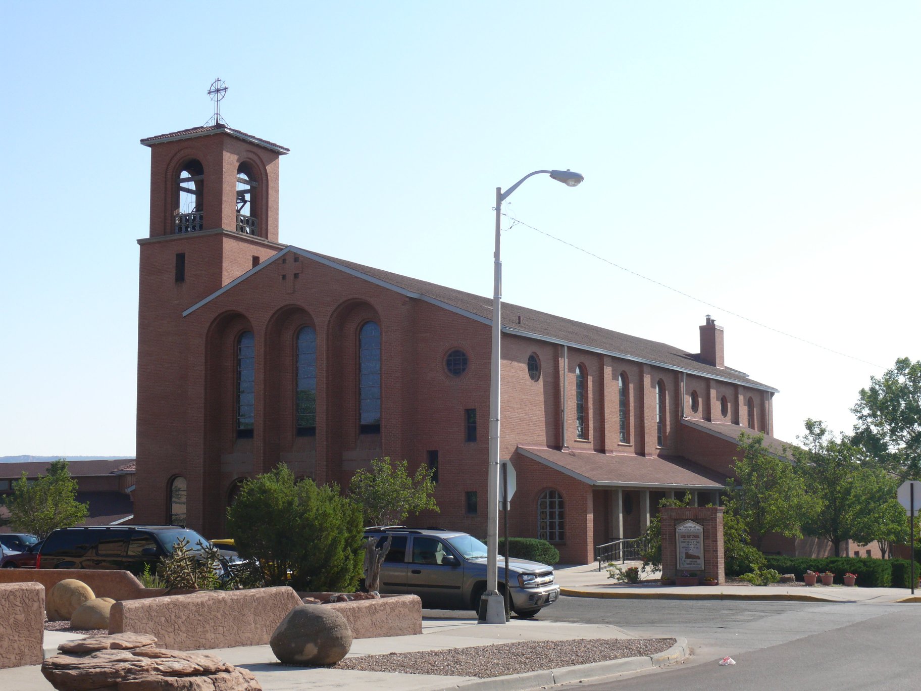
The Sacred Heart Cathedral of Gallup (New Mexico, USA).

Autor: WeaponizingArchitecture, Licencja: CC BY-SA 4.0
Flag of Gallup, New Mexico
Autor: Richie Diesterheft, Licencja: CC BY 2.0
El Morro Theatre in Gallup, New Mexico, USA