Großer Arber
| ||
(c) Deconstruct, CC-BY-SA-3.0 | ||
| Państwo | ||
| Położenie | Bawaria | |
| Pasmo | Las Bawarski | |
| Wysokość | 1456 m n.p.m. | |
| Wybitność | 1031 m | |
Großer Arber (baw. da grose Arba, czes. Velký Javor) – szczyt w paśmie górskim Las Bawarski (Niemcy), nazywany Królem Lasu Bawarskiego. Wysokość 1456 m n.p.m.
Linki zewnętrzne
- Strona oficjalna (niem.)
Media użyte na tej stronie
U+25B2.svg
Black up-pointing triangle ▲, U+25B2 from Unicode-Block Geometric Shapes (25A0–25FF)
Black up-pointing triangle ▲, U+25B2 from Unicode-Block Geometric Shapes (25A0–25FF)
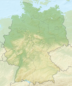
Relief Map of Germany.png
Autor: derivative work Виктор_В, Licencja: CC BY-SA 3.0
Relief map of Germany
Autor: derivative work Виктор_В, Licencja: CC BY-SA 3.0
Relief map of Germany
Grosser-Arber-002.jpg
(c) Deconstruct, CC-BY-SA-3.0
Großer Arber with both radomes of the Remote Technical Platoon 133 (Tactical Air Command and Control Service of the German Air Force). The Radome on the left-hand side accommodates a RRP 117 sensor, however, the Radome on the right-hand side is empty and not any more in operation.
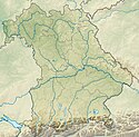
Bavaria relief location map.jpg
Autor: Grundkarte TUBS, Relief Alexrk2, Licencja: CC BY-SA 3.0
Physical Location map Bavaria, Germany. Geographic limits of the map:
Autor: Grundkarte TUBS, Relief Alexrk2, Licencja: CC BY-SA 3.0
Physical Location map Bavaria, Germany. Geographic limits of the map:


