Großer Zschirnstein
| Ten artykuł od 2022-07 wymaga zweryfikowania podanych informacji. |
 | |
| Państwo | |
|---|---|
| Położenie | |
| Pasmo | |
| Wysokość | 562 m n.p.m. |
| 50,8548521°N 14,1766206°E/50,854852 14,176621 | |
Großer Zschirnstein – najwyższy szczyt Saskiej Szwajcarii, czyli niemieckiej części Gór Połabskich (niem.: Elbsandsteingebirge). Dokładna wysokość szczytu to 561,74 m n.p.m.
Zobacz też
- Góry Niemiec
Media użyte na tej stronie
Autor: derivative work Виктор_В, Licencja: CC BY-SA 3.0
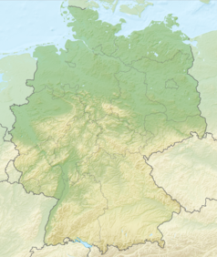
Relief map of Germany
Black up-pointing triangle ▲, U+25B2 from Unicode-Block Geometric Shapes (25A0–25FF)
Autor: Hanhil based on work by TUBS, Licencja: CC BY-SA 3.0
Location map Saxony, showing position of Saxony within Germany. Geographic limits of the map:
Autor: Olaf1541, Licencja: CC BY 2.5
mountains "Zschirnsteine", left the small on, on the right the large one; Saxony Switzerland, Germany
Autor: Norbert Kaiser, Licencja: CC BY-SA 2.5
triangulation point (1865) on top of the Großer Zschirnstein (561 m) in the Saxon Switzerland with the Děčínský Sněžník (722 m) in the background.


