Grouville
 | |||||
| Państwo | |||||
|---|---|---|---|---|---|
| Dependencja królewska | |||||
| Zarządzający | John Le Maistre[1] | ||||
| Powierzchnia | 8 km² | ||||
| Populacja (2011) • liczba ludności • gęstość |
| ||||
| Kod pocztowy | JE3-9 | ||||
| Tablice rejestracyjne | GBJ | ||||
Położenie na mapie Wielkiej Brytanii (c) Karte: NordNordWest, Lizenz: Creative Commons by-sa-3.0 de | |||||
| Strona internetowa | |||||
| Portal | |||||
Grouville – okręg (parish) na wyspie Jersey, jednej z Wysp Normandzkich. Parish Grouville leży w zachodniej części wyspy.
Przypisy
- ↑ Jersey parish of Grouville vote for John Le Maistre, „BBC News”, 2 października 2013 [dostęp 2020-11-06] (ang.).
- ↑ Report on the 2011 Jersey Census.
Media użyte na tej stronie
(c) Karte: NordNordWest, Lizenz: Creative Commons by-sa-3.0 de
Location map of the United Kingdom
The flag of the United Kingdom (3:5 version). This flag is the Union Flag in the 3:5 ratio exclusively used on land. At sea, the correct ratio is 1:2.
Autor: Flagvisioner, Licencja: CC0
Flag of the Grouville Parish in Jersey, according to [1]
Autor: OpenStreet Map contributors, Licencja: ODbL
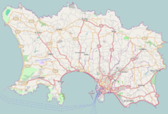
Map of Jersey (UK territory), intended for use in geolocation templates:
- top = 49.264
- bottom = 49.1568
- left = -2.2568
- right = -2.0151
Autor: TUBS
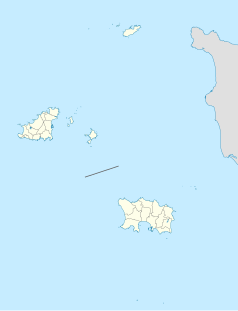
Location map of the Channel Islands
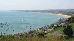
View over Royal Bay of Grouville fom Mont St. Nicolas, Jersey
Photo taken by Man vyi with Canon PowerShot A40 on 15/7/2005


