Hektary (Częstochowa)
| ||||
| ||||
| Państwo | ||||
| Województwo | ||||
| Miasto | Częstochowa | |||
| Dzielnica | Mirów | |||
| W granicach Częstochowy | 1952 | |||
| SIMC | 0930992 | |||
| Portal | ||||
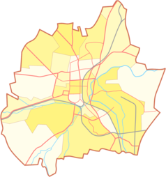
Hektary – część miasta Częstochowy wchodząca w skład Mirowa. Położona nieco na północ od Góry Kokocówka[1].
Przypisy
- ↑ Agnieszka Henel, Nowe stanowiska Lathyrus laevigatus (Fabaceae) na Wyżynie Częstochowskiej, „Fragmenta Floristica et Geobotanica Polonica”, 14 (2), 2007, s. 390.
Media użyte na tej stronie
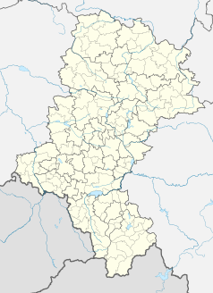
Silesian Voivodeship location map2.svg
Autor: SANtosito, Licencja: CC BY-SA 4.0
Location map of en:Silesian Voivodeship with counties (powiats) and municipalities (gminas). Geographic limits of the map:
Autor: SANtosito, Licencja: CC BY-SA 4.0
Location map of en:Silesian Voivodeship with counties (powiats) and municipalities (gminas). Geographic limits of the map:
- N: 51.1617 N
- S: 49.2956 N
- W: 17.8872 E
- E: 20.0559 E


