Innenstadt II
| Państwo | |
|---|---|
| Kraj związkowy | Frankfurt nad Menem |
| Powierzchnia | 9,49 km² |
| Populacja (31 grudnia 2013) • liczba ludności • gęstość | 53 518 5 639 os./km² |
| Nr kierunkowy | 069 |
| Kod pocztowy | 60322, 60323, 60325, 60486, 60487 |
| Tablice rejestracyjne | F |
| Strona internetowa | |
| Portal | |
Innenstadt II, Frankfurt-Innenstadt II – 2. okręg administracyjny (Ortsbezirk) we Frankfurcie nad Menem, w kraju związkowym Hesja, w Niemczech. Liczy 53 518 mieszkańców (31 grudnia 2013) i ma powierzchnię 9,49 km².
Dzielnice
W skład okręgu wchodzą trzy dzielnice (Stadtteil):
Zobacz też
- Innenstadt
Bibliografia
- Hessisches Statistisches Landesamt, Wiesbaden
Media użyte na tej stronie
Autor: TUBS
Location of borough xy (see filename) in Frankfurt am Main.
Autor: NordNordWest, Licencja: CC BY-SA 3.0
Location map of Germany (Wp article: en:Germany)
Autor: Hanhil based on work by TUBS, Licencja: CC BY-SA 3.0
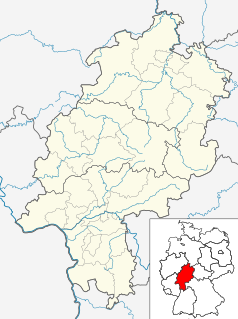
Location map Hesse, showing position of Bavaria within Germany. Geographic limits of the map:


