Inveraray
| ||
 | ||
| Państwo | ||
|---|---|---|
| Kraj | ||
| Hrabstwo | Argyll and Bute | |
| Populacja • liczba ludności | 560 | |
| Nr kierunkowy | 01499 | |
| Kod pocztowy | PA32 | |
Położenie na mapie Argyll and Bute Contains Ordnance Survey data © Crown copyright and database right, CC BY-SA 3.0 | ||
Położenie na mapie Wielkiej Brytanii (c) Karte: NordNordWest, Lizenz: Creative Commons by-sa-3.0 de | ||
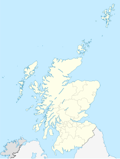
Położenie na mapie Szkocji | ||
| Strona internetowa | ||
| Portal | ||
Inveraray (gael. Inbhir Aora[1]) – miasto królewskie położone w hrabstwie Argyll and Bute na zachodnim brzegu Loch Fyne. Jest historyczną stolicą hrabstwa Argyll oraz siedzibą księcia Argyll.
Przypisy
Media użyte na tej stronie
(c) Karte: NordNordWest, Lizenz: Creative Commons by-sa-3.0 de
Location map of the United Kingdom
(c) Eric Gaba, NordNordWest, CC BY-SA 3.0
Location map of Scotland, United Kingdom
Contains Ordnance Survey data © Crown copyright and database right, CC BY-SA 3.0
Blank map of Argyll and Bute, UK with the following information shown:
- Administrative borders
- Coastline, lakes and rivers
- Roads and railways
- Urban areas
Equirectangular map projection on WGS 84 datum, with N/S stretched 175%
Geographic limits:
- West: 7.2W
- East: 4.5W
- North: 56.8N
- South: 55.2N
Inveraray, Scotland. Scanned from a slide photography taken 2003-08-29.


