Kavaratti
| ||
 | ||
| Państwo | ||
| Terytorium związkowe | Lakszadiwy | |
| Populacja (2001) • liczba ludności | 10 113 | |
| Kod pocztowy | 682555 | |
Położenie na mapie Indii | ||
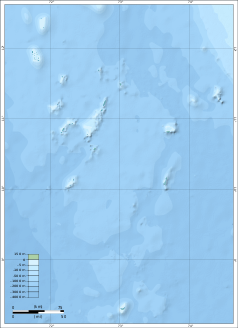
Kavaratti (hindi कवरत्ती, trb.: Kawaratti, trl.: Kavāratti; malajalam കവരത്തി; ang. Kavaratti) – miasto w Indiach, ośrodek administracyjny terytorium związkowego Lakszadiwy, leżące na atolu o tej samej nazwie, położonym na Oceanie Indyjskim na zachód od kontynentalnych Indii. Według danych z 2001 roku liczy 10 113 mieszkańców. 55% populacji stanowią mężczyźni.
Media użyte na tej stronie
(c) Uwe Dedering z niemieckiej Wikipedii, CC BY-SA 3.0
Location map of India.
Equirectangular projection. Strechted by 106.0%. Geographic limits of the map:
- N: 37.5° N
- S: 5.0° N
- W: 67.0° E
- E: 99.0° E
The Flag of India. The colours are saffron, white and green. The navy blue wheel in the center of the flag has a diameter approximately the width of the white band and is called Ashoka's Dharma Chakra, with 24 spokes (after Ashoka, the Great). Each spoke depicts one hour of the day, portraying the prevalence of righteousness all 24 hours of it.
Early morning at a junction in the island of Kavaratti, Lakhshadweep


