Klausenpass
| ||
 | ||
| Państwo | ||
| Wysokość | 1952 m n.p.m. | |
| Pasmo | Alpy Glarneńskie | |
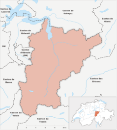
Klausenpass - przełęcz w Alpach Glarneńskich położona na wysokości 1952 m n.p.m. Leży w Szwajcarii, w kantonie Uri, blisko granicy z kantonem Glarus. Przełęcz ta łączy Altdorf w kantonie Uri na zachodzie z Linthal w kantonie Glarus na wschodzie.
Galeria
Linki zewnętrzne
- Opis przełęczy (niem.)
Media użyte na tej stronie
Autor: Roland Zumbühl, Licencja: CC-BY-SA-3.0
Hotel Passhohe on the Klausenpass
Autor: Abaddon1337, Licencja: CC BY-SA 3.0
Fork from media:Karte Kanton Uri 2010.png for geolocalisation
Autor: Eric Gaba (Sting - fr:Sting) and NordNordWest, Licencja: CC BY-SA 3.0
Blank physical map of Switzerland, for geo-location purpose.
oriented mountain pass symbol : n ne e se
Autor: Roland Zumbühl (Picswiss), Arlesheim (Commons:Picswiss project), Licencja: CC-BY-SA-3.0
Strassenkehren des Klausenpasses bei Vorfrutt
Autor: böhringer friedrich, Licencja: CC BY-SA 2.5
Klausen Pass (el. 1948 m.) is a high mountain pass in the Swiss Alps connecting the cantons of Uri and Glarus.
Ortstafel Klausenpasshöhe
Autor: Roland Zumbühl (Picswiss), Arlesheim (Commons:Picswiss project), Licencja: CC-BY-SA-3.0
Hotel Klausen-Passhöhe


