Laurentina
(c) Sergio D’Afflitto, CC BY-SA 4.0 | |
| Państwo | |
|---|---|
| Data otwarcia | 1990 |
| Linia B | |
| Poprzednia stacja | |
| Portal | |
Laurentina – ostatnia stacja linii B metra rzymskiego. Stacja została otwarta w 1955 roku. Poprzednią stacją jest EUR Fermi.
Niedaleko stacji mieści się Szpital Sant'Eugenio.
Media użyte na tej stronie
Autor: NordNordWest, Licencja: CC BY-SA 3.0
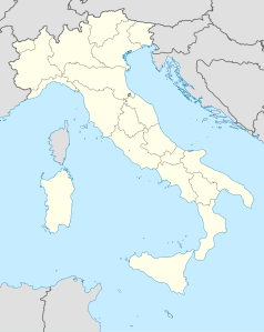
Location map of Italy (Commons photos) → en-Wikipedia Italy.
(c) Sergio D’Afflitto, CC BY-SA 4.0
External view of Laurentina station, southern terminus of the line B of the Rome Metro
Icon of Rome underground line A.
Icon of Rome underground line B.
Icon of Rome underground line B, branch B1.
Autor:
- Map_of_region_of_Lazio,_Italy.svg: User:Vonvikken
- derivative work: Milenioscuro (talk)
Location map of Lazio region (Italy)
Autor: Dr. Blofeld, insert originally by Nordnordwest, Licencja: CC BY-SA 2.0
Map of Rome. Italy
Geographic limits of the map:
- N: 41.993°
- S: 41.792°
- W: 12.308°
- E: 12.685°
Icon of Rome underground line C.
Logo delle metropolitane in Italia


