Le Rozier
| miejscowość i gmina | |||
 Widok na Le Rozier | |||
| |||
| Państwo | |||
|---|---|---|---|
| Region | |||
| Departament | |||
| Okręg | |||
| Kod INSEE | 48131 | ||
| Powierzchnia | 2,04 km² | ||
| Populacja (2013) • liczba ludności |
| ||
| Kod pocztowy | 48150 | ||
| Portal | |||
Le Rozier – miejscowość i gmina we Francji, w regionie Oksytania, w departamencie Lozère[1]. W 2013 roku jej populacja wynosiła 151 mieszkańców[2]. Przez gminę przepływa rzeka Tarn (rzeka)[3].
Przypisy
- ↑ Atlas Routier France 2014. Michelin, s. 282. ISBN 978-2-06-719261-4. (fr.)
- ↑ Populations légales 2013 (fr.). INSEE. [dostęp 2017-07-26].
- ↑ Fiche cours d'eau – Le Tarn (O---0100) (fr.). SANDRE. [dostęp 2017-07-26].
Media użyte na tej stronie
Autor: Superbenjamin, Licencja: CC BY-SA 4.0
Blank administrative map of France for geo-location purpose, with regions and departements distinguished. Approximate scale : 1:3,000,000
Autor: Flappiefh, Licencja: CC BY-SA 4.0
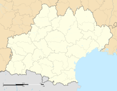
Carte administrative vierge de la région Languedoc-Roussillon-Midi-Pyrénées, France, destinée à la géolocalisation.
Autor: Etienne Baudon, Flappiefh, Licencja: CC BY-SA 3.0
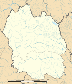
Blank administrative map of the department of Lozère, France, for geo-location purpose.
Autor: Krzysztof Golik, Licencja: CC BY-SA 4.0
View on Le Rozier, Lozère, France
Autor: Michel Thuault, Licencja: FAL
Devise : "GABALIBUS FELICITER" - Bienheureux Gabales D'or au pairle ondé d'azur, accompagné en chef d'un calice romain sigillé de gueule, et de deux roses feuillées et tigées de même, aux flancs dextre et senectre


