Lee (rzeka w Irlandii)
(c) Philip Halling, CC BY-SA 2.0 | |
| Kontynent | Europa |
|---|---|
| Państwo | |
| Rzeka | |
| Długość | 90 km |
| Powierzchnia zlewni | 1253,5 km² |
| Źródło | |
| Miejsce | Gougane Barra, Góry Shehy |
| Ujście | |
| Recypient | Morze Celtyckie |
| Miejsce | Zatoka Cork |
| Współrzędne | 51°53′55″N 8°32′21″W/51,898611 -8,539167 |
Lee (irl. An Laoi) – rzeka w południowej Irlandii. Jej źródła znajdują się w Górach Shehy, na zachodniej granicy hrabstwa Cork, skąd płynie w kierunku wschodnim przez Cork by wpaść do zatoki Cork na Morzu Celtyckim.
Media użyte na tej stronie
(c) Richard Fensome, CC BY-SA 2.0
The Bridge, Inishcarra, County Cork The bridge crosses the River Lee, just West of Ballincollig, one of the fastest growing towns in Ireland.
Autor: Roger Zenner, Licencja: CC BY-SA 2.0 de
Neue Karte von Irland und Nordirland
(c) Philip Halling, CC BY-SA 2.0
River Lee to the west of Inchigeelagh
Autor: Nilfanion, Licencja: CC BY-SA 3.0
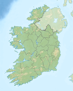
Relief location map of Ireland
Equirectangular map projection on WGS 84 datum, with N/S stretched 170%
Geographic limits:
- West: 11.0° W
- East: 5.0° W
- North: 55.6° N
- South: 51.2° N


