Les Platons
| Ten artykuł od 2022-07 wymaga zweryfikowania podanych informacji. |
 | |
| Państwo | |
|---|---|
| Dependencja królewska | |
| Położenie | |
| Pasmo | |
| Wysokość | 142 m n.p.m. |
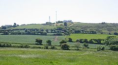
Les Platons – najwyższy szczyt wyspy Jersey, Dependencji Korony brytyjskiej.
Linki zewnętrzne
Media użyte na tej stronie
U+25B2.svg
Black up-pointing triangle ▲, U+25B2 from Unicode-Block Geometric Shapes (25A0–25FF)
Black up-pointing triangle ▲, U+25B2 from Unicode-Block Geometric Shapes (25A0–25FF)
Jersey geolocation map.png
Autor: OpenStreet Map contributors, Licencja: ODbL
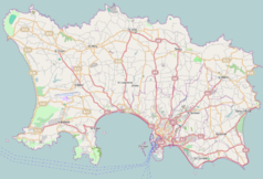
Map of Jersey (UK territory), intended for use in geolocation templates:
Autor: OpenStreet Map contributors, Licencja: ODbL
Map of Jersey (UK territory), intended for use in geolocation templates:
- top = 49.264
- bottom = 49.1568
- left = -2.2568
- right = -2.0151
United Kingdom relief location map.jpg
Autor: Alexrk2, Licencja: CC BY-SA 3.0
Location map of the United Kingdom
Autor: Alexrk2, Licencja: CC BY-SA 3.0
Location map of the United Kingdom
Channel Islands location map (+parishes).svg
Autor: TUBS
 ,
Licencja: CC BY-SA 2.0
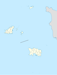
Location map of the Channel Islands
Autor: TUBS
Location map of the Channel Islands


