Lichtenfels (Hesja)
 | |||
| |||
| Państwo | |||
|---|---|---|---|
| Kraj związkowy | |||
| Rejencja | Rejencja Kassel | ||
| Powiat | Powiat Waldeck-Frankenberg | ||
| Powierzchnia | 96,73 km² | ||
| Wysokość | 410 m n.p.m. | ||
| Populacja (2015-12-31) • liczba ludności • gęstość | 4181[1] 43,04 os./km² | ||
| Nr kierunkowy | 05636 | ||
| Kod pocztowy | 35104 | ||
| Tablice rejestracyjne | KB, FKB, WA | ||
| Strona internetowa | |||
| Portal | |||
Lichtenfels – miasto w Niemczech, w kraju związkowym Hesja, w rejencji Kassel, w powiecie Waldeck-Frankenberg.
Przypisy
- ↑ Die Bevölkerung in Hessen am 31.12.2015 (niem.). statistik.hessen.de. [dostęp 2017-02-17].
Media użyte na tej stronie
Autor: NordNordWest, Licencja: CC BY-SA 3.0
Location map of Germany (Wp article: en:Germany)
Autor: Teta, Licencja: CC BY-SA 3.0
Fotoflug Sauerland-Ost, Lichtenfels-Neukirchen; Blickrichtung Osten
 |
The production, editing or release of this file was supported by the Community-Budget of Wikimedia Germany.
To see other files made with the support of Wikimedia Germany, please see the category Supported by Wikimedia Deutschland. |
Autor: Hanhil based on work by TUBS, Licencja: CC BY-SA 3.0
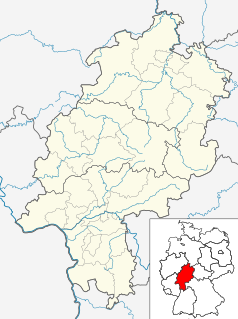
Location map Hesse, showing position of Bavaria within Germany. Geographic limits of the map:


