Llandrindod Wells
| ||
(c) Penny Mayes, CC BY-SA 2.0 | ||
| Państwo | ||
| Księstwo | ||
| Hrabstwo | Powys | |
| Populacja • liczba ludności | 5000 | |
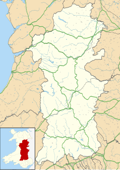
Położenie na mapie Powys Contains Ordnance Survey data © Crown copyright and database right, CC BY-SA 3.0 | ||
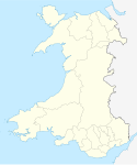
Położenie na mapie Wielkiej Brytanii (c) Karte: NordNordWest, Lizenz: Creative Commons by-sa-3.0 de | ||
| Strona internetowa | ||
| Portal | ||
Llandrindod Wells (wal. Llandrindod) – miasto w Wielkiej Brytanii, w środkowej Walii. Liczy ok. 5000 mieszkańców. Ośrodek administracyjny hrabstwa Powys.
Media użyte na tej stronie
(c) Karte: NordNordWest, Lizenz: Creative Commons by-sa-3.0 de
Location map of the United Kingdom
Autor: NordNordWest, Licencja: CC BY-SA 3.0
Location map of Wales, United Kingdom
Contains Ordnance Survey data © Crown copyright and database right, CC BY-SA 3.0
Blank map of Powys, UK with the following information shown:
- Administrative borders
- Coastline, lakes and rivers
- Roads and railways
- Urban areas
Equirectangular map projection on WGS 84 datum, with N/S stretched 165%
Geographic limits:
- West: 4.22W
- East: 2.82W
- North: 52.92N
- South: 51.72N
(c) Penny Mayes, CC BY-SA 2.0
Junction of South Crescent with Temple Street With the Information Bureau straight ahead and Oxford Chambers on the left.


