Maasbree
 | |||||
| Państwo | |||||
|---|---|---|---|---|---|
| Prowincja | |||||
| Powierzchnia | 49.93 km² | ||||
| Populacja • liczba ludności | 6522 | ||||
| Kod pocztowy | 5990–5993 | ||||
| Strona internetowa | |||||
Maasbree – holenderska wieś położona w Limburgii, liczy ok. 6500 mieszkańców. 1 stycznia 2011 wraz z Helden, Kessel i Meijel została włączona do nowej gminy Peel en Maas. Miejscowość jest miastem partnerskim Wolsztyna[1].
Przypisy
- ↑ http://www.wolsztyn.pl/pages_pl_1775.html Oficjalna strona UM Wolsztyn
Linki zewnętrzne
Media użyte na tej stronie
Autor: Erik Frohne, Licencja: CC BY-SA 3.0
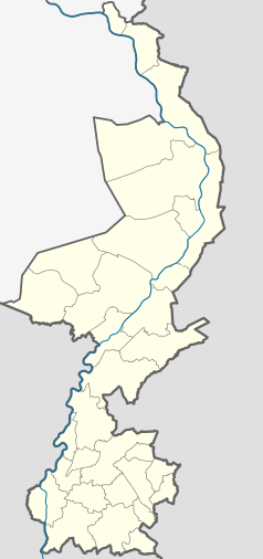
Location map of province Limburg in the Netherlands
Equirectangular projection, N/S stretching 160 %. Geographic limits of the map:
- N: 51.782° N
- S: 50.744° N
- W: 5.56° E
- E: 6.34° E
Flag of the Dutch municipality of Maasbree.
Coat of arms of the former Dutch municipality of Maasbree.
Autor: MartijnL, Licencja: CC BY-SA 3.0 nl
Dorpstraat in Maasbree (Limburg, The Netherlands)


