Mahabad
 | |
| Państwo | |
|---|---|
| Ostan | |
| Wysokość | 1320 m n.p.m. |
| Populacja (2006) • liczba ludności |
|
| Nr kierunkowy | 0442 |
| Strona internetowa | |
Mahabad (perski : مهاباد, kurdyjski : مەھاباد;) – miasto w Iranie, w ostanie Azerbejdżan Zachodni. Liczba mieszkańców w 2006 roku wynosiła ok. 133 tys. Od stycznia do grudnia 1946, Mahabad był stolicą niepodległego państwa kurdyjskiego, zwanego republiką Mahabadzką.
Media użyte na tej stronie
Autor: Mhsheikholeslami, Licencja: CC BY-SA 4.0
Panoramic view of Mahabad on 1959-01-05
I have taken this picture from Mahabad in Decemeber 2006. I would like this photo to be added to the article about "Mahabad" a kurdish town in Iran. There will be one more picture to follow.
Autor: Uwe Dedering, Licencja: CC BY-SA 3.0
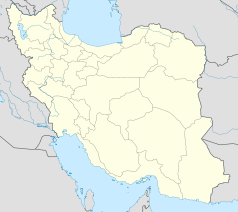
Location map of Iran.
Equirectangular projection. Stretched by 118.0%. Geographic limits of the map:
* N: 40.0° N
* S: 24.5° N
* W: 43.5° E
* E: 64.0° E
Made with Natural Earth. Free vector and raster map data @ naturalearthdata.com.


