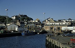
Mallaig
 Port w Mallaig | |
| Państwo | |
|---|---|
| Kraj | |
| Hrabstwo | Highland |
| Populacja • liczba ludności | 800 |
Położenie na mapie Highland Contains Ordnance Survey data © Crown copyright and database right, CC BY-SA 3.0 | |
Położenie na mapie Wielkiej Brytanii (c) Karte: NordNordWest, Lizenz: Creative Commons by-sa-3.0 de | |
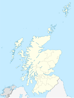
Położenie na mapie Szkocji | |
| Portal | |
Mallaig (wym. [ˈmælɪɡ], gael. Malaig [ˈmal̪ˠɛkʲ]) – miejscowość portowa w zachodniej Szkocji, w jednostce administracyjnej Highland (historycznie w Inverness-shire), na zachodnim krańcu zabytkowej linii kolejowej z Fort William, mieszka tu około 800 ludzi.
Odpływają stąd promy na Wyspę Skye i Hebrydy Zewnętrzne. W miejscowości działa schronisko młodzieżowe.
Media użyte na tej stronie
(c) Karte: NordNordWest, Lizenz: Creative Commons by-sa-3.0 de
Location map of the United Kingdom
Contains Ordnance Survey data © Crown copyright and database right, CC BY-SA 3.0
Blank map of Highland, UK with the following information shown:
- Administrative borders
- Coastline, lakes and rivers
- Roads and railways
- Urban areas
Equirectangular map projection on WGS 84 datum, with N/S stretched 180%
Geographic limits:
- West: 6.9W
- East: 2.9W
- North: 58.8N
- South: 56.4N
(c) Eric Gaba, NordNordWest, CC BY-SA 3.0
Location map of Scotland, United Kingdom


