Maritiem Instituut de Ruyter
| ||
 | ||
| Państwo | ||
|---|---|---|
| Prowincja | ||
| Adres | Boulevard Bankert 156, 4382AC Vlissingen[1] | |
| Strona internetowa | ||
Maritiem Instituut de Ruyter – holenderska uczelnia morska we Vlissingen.
Maritiem Instituut de Ruyter szkoli przyszłych oficerów marynarki. Prowadzi również nauczanie w dziedzinie logistyki, inżynierii procesowej i energetyki oraz międzynarodowego utrzymania ruchu (International Maintenance Management)[2].
Budynek uczelni wpisany jest do rejestru zabytków pod numerem 530840[3].
Przypisy
- ↑ Maritiem Instituut De Ruyter in Vlissingen (niderl.). De Telefoongids BV. [dostęp 2014-08-12].
- ↑ Akademia de Ruyter (niderl.). University of Applied Sciences Disclaimer. [dostęp 2014-08-12]. [zarchiwizowane z tego adresu (2014-08-21)].
- ↑ Monumentnummer: 530840 (niderl.). W: Rijksdienst voor het Cultureel Erfgoed [on-line]. Ministerie van Onderwijs, Cultur en Wetenschap. [dostęp 2014-08-12].
Media użyte na tej stronie
Autor: Erik Frohne, Licencja: CC BY-SA 3.0
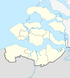
Location map of province Zeeland in the Netherlands
Equirectangular projection, N/S stretching 160 %. Geographic limits of the map:
- N: 51.80° N
- S: 51.10° N
- W: 3.30° E
- E: 4.30° E


