Monifieth
(c) Val Vannet, CC BY-SA 2.0 High Street w Monifieth | |
| Państwo | |
|---|---|
| Kraj | |
| Hrabstwo | Angus |
| Populacja (2006) • liczba ludności | 7 900 |
| Kod pocztowy | DD5 |
Położenie na mapie Angus Contains Ordnance Survey data © Crown copyright and database right, CC BY-SA 3.0 | |
Położenie na mapie Wielkiej Brytanii (c) Karte: NordNordWest, Lizenz: Creative Commons by-sa-3.0 de | |
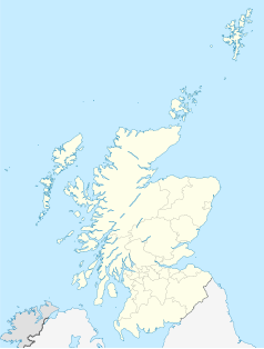
Położenie na mapie Szkocji | |
| Portal | |
Monifieth (gael. Monadh Fèithe) jest małym miastem położonym na wschodnim wybrzeżu Szkocji w pobliżu miasta Dundee. Administracyjnie jest częścią jednostki terytorialnej Angus.
Edukacja
W Monifieth są trzy szkoły: dwie podstawowe – Grange Primary School i Seaview Primary School oraz szkoła średnia Monifieth High School.
Linki zewnętrzne
Media użyte na tej stronie
(c) Karte: NordNordWest, Lizenz: Creative Commons by-sa-3.0 de
Location map of the United Kingdom
(c) Eric Gaba, NordNordWest, CC BY-SA 3.0
Location map of Scotland, United Kingdom
Contains Ordnance Survey data © Crown copyright and database right, CC BY-SA 3.0
Blank map of Angus, UK with the following information shown:
- Administrative borders
- Coastline, lakes and rivers
- Roads and railways
- Urban areas
Equirectangular map projection on WGS 84 datum, with N/S stretched 180%
Geographic limits:
- West: 3.5W
- East: 2.4W
- North: 57.0N
- South: 56.4N


