Onderbanken
 | |||||
| Państwo | |||||
|---|---|---|---|---|---|
| Prowincja | |||||
| Powierzchnia | 21,24 km² | ||||
| Populacja (2014) • liczba ludności |
| ||||
| Nr kierunkowy | 046 | ||||
| Kod pocztowy | 6447 | ||||
| Strona internetowa | |||||
Onderbanken – dawna gmina w Holandii, w prowincji Limburgia. 1 stycznia 2019 wraz z gminami Schinnen i Nuth utworzyła nową gminę Beekdaelen[2].
Miejscowości
Bingelrade, Douvergenhout, Etzenrade, Jabeek, Merkelbeek, Op den Hering, Quabeek, Raath, Schinveld, Viel
Topografia
Topograficzna mapa gminy Onderbanken , Lipiec 2015.
Przypisy
- ↑ Aktualna liczba mieszkańców gminy (nl) [dostęp 24 lipca 2014]
- ↑ 1limburg.nl: Nuth-Schinnen-Onderbanken kiest voor Beekdaelen als naam (niderl.). 2017-13-16. [dostęp 2020-01-19].
Media użyte na tej stronie
Autor: Janwillemvanaalst, Licencja: CC BY-SA 4.0
Topografische gemeentekaart. Resolutie: 400 pixels/km.
Kaartbeeld samengesteld uit de open geodata van de Top10NL en Top25namen (Kadaster), Creative Commons-BY licentie. Gebouwvlakken uit open geodata BAG extract. Wegen uit de OpenStreetMap, OpenStreetMap community. Reliëfschaduw uit de Actuele Hoogtekaart AHN2.
Samenstelling en kleurenschema: Jan-Willem van Aalst, met QGIS. Zie ook de Legenda.Flag of Onderbanken (Netherlands)
Coat of arms of the Dutch municipality of Onderbanken, Limburg.
Autor: Erik Frohne, Licencja: CC BY-SA 3.0
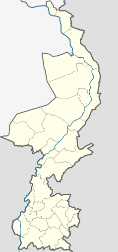
Location map of province Limburg in the Netherlands
Equirectangular projection, N/S stretching 160 %. Geographic limits of the map:
- N: 51.782° N
- S: 50.744° N
- W: 5.56° E
- E: 6.34° E
Autor: JHGS, Licencja: CC BY-SA 3.0 nl
To jest zdjęcie holenderskiego zabytku (rijksmonument) numer 26320


