Pałac w Kopaninie
| ||
 Pałac w Miedarach-Kopaninie | ||
| Państwo | ||
| Miejscowość | Kopanina | |
| Styl architektoniczny | neobarokowy | |
| Ukończenie budowy | 1889 | |
| Pierwszy właściciel | ród von Fürstenberg | |
Położenie na mapie Polski (c) Karte: NordNordWest, Lizenz: Creative Commons by-sa-3.0 de | ||
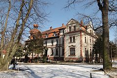
Pałac w Kopaninie – neobarokowy pałac w Kopaninie (przysiółek do osady Miedary).
Historia
Wybudowany w 1889 r. przez rodzinę baronów von Fürstenberg. Reprezentuje neobarok francuski. Obecnie dom opieki społecznej dla dzieci.
Obiekt ma status zabytku – do rejestru zabytków nieruchomych został wpisany 30 kwietnia 1999 pod numerem A/14/99.
Przypisy
Linki zewnętrzne
- Zdjęcie satelitarne na Google Local
Media użyte na tej stronie
(c) Karte: NordNordWest, Lizenz: Creative Commons by-sa-3.0 de
Location map of Poland
Autor: SANtosito, Licencja: CC BY-SA 4.0
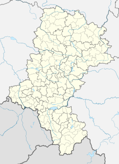
Location map of en:Silesian Voivodeship with counties (powiats) and municipalities (gminas). Geographic limits of the map:
- N: 51.1617 N
- S: 49.2956 N
- W: 17.8872 E
- E: 20.0559 E
Autor: SANtosito, Licencja: CC BY-SA 4.0
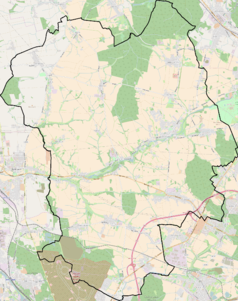
Location map of Tarnowskie Góry County with urbanized area highlighted. Geographic limits of the map:
- N: 50.6412 N
- S: 50.3183 N
- W: 18.55 E
- E: 19.154 E
Blue Shield - the Distinctive emblem for the Protection of Cultural Property. The distinctive emblem is a protective symbol used during armed conflicts. Its use is restricted under international law.
Symbol dworu do legendy mapy
Historical coat of arms of Upper Silesia (Oberschlesien). The region is now in Poland and there exists the voivodship of Silesia, but it has different borders.
Autor:
Autor: Tomasz Górny (Nemo5576), Licencja: CC BY-SA 3.0
Pałac w Miedarach.


