Park Narodowy Uluru-Kata Tjuta
 Uluru – Kata Tjuta | |
| Państwo | |
|---|---|
| Powierzchnia | 132600 ha |
| Strona internetowa | |
| Obiekt z listy światowego dziedzictwa UNESCO | |
 | |
| Państwo | |
|---|---|
| Typ | mieszany |
| Spełniane kryterium | V, VI, VII, VIII |
| Numer ref. | |
| Region[b] | Azja i Pacyfik |
| Historia wpisania na listę | |
| Wpisanie na listę | 1987 |
| Dokonane zmiany | 1994 |
Park Narodowy Uluru–Kata Tjuta - (Uluru-Kata Tjuta National Park) - park narodowy utworzony w roku 1958, położony na obszarze Terytorium Północnego w Australii.
W 1987 roku wpisany na listę światowego dziedzictwa UNESCO[1].
Galeria
Linki zewnętrzne
- Strona internetowa (archiwum). environment.gov.au. [zarchiwizowane z tego adresu (2007-02-10)]. (en)
Przypisy
Media użyte na tej stronie
Shiny green button/marker widget.
Flag of the United Nations Educational, Scientific and Cultural Organization (UNESCO)
Autor: Tentotwo, Licencja: CC BY-SA 3.0
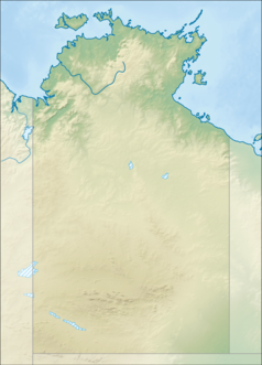
Relief location map of the Northern Territory, Australia Equidistant cylindrical projection, latitude of true scale 17.75° S (equivalent to equirectangular projection with N/S stretching 105 %). Geographic limits of the map:
- N: 10.6° S
- S: 26.5° S
- W: 127.5° E
- E: 139.5° E
Autor: , Licencja: CC BY-SA 3.0
Relief map of Australia, including the borders of the states of the Commonwealth of Australia
Dawn view of Uluru with Kata Tjuta in background, enhanced image


