Park Narodowy Werrikimbe
 | |
| Państwo | |
|---|---|
| Data utworzenia | 1975 |
| Powierzchnia | 33306 ha |
Werrikimbe (Werrikimbe National Park) – park narodowy położony w stanie Nowa Południowa Walia w Australii, około 90 km na wschód od miasta Walcha i 80 km na zachód od Wauchope.
Park jest częścią rezerwatu Gondwana Rainforests of Australia, wpisanego na listę światowego dziedzictwa UNESCO.
Linki zewnętrzne
- Werrikimbe (en)
- Werrikimbe. australiannationalparks.com. [zarchiwizowane z tego adresu (2010-11-10)]. (en)
Media użyte na tej stronie
Shiny green button/marker widget.
Autor: , Licencja: CC BY-SA 3.0
Relief map of Australia, including the borders of the states of the Commonwealth of Australia
Autor: Tentotwo, Licencja: CC BY-SA 3.0
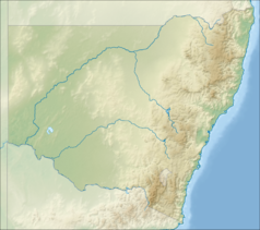
Relief location map of New South Wales, Australia Equidistant cylindrical projection, latitude of true scale 32.82° S (equivalent to equirectangular projection with N/S stretching 119 %). Geographic limits of the map:
- N: 27.9° S
- S: 37.8° S
- W: 140.6° E
- E: 153.9° E


