Port lotniczy Chanty-Mansyjsk
 | |||
| Państwo | |||
|---|---|---|---|
| Okręg autonomiczny | |||
| Miejscowość | |||
| Typ | cywilne | ||
| Kod IATA | HMA | ||
| Kod ICAO | USHH | ||
| Wysokość | 23 m n.p.m. | ||
| Drogi startowe | |||
| |||
Port lotniczy Niżniewartowsk IATA: HMA, ICAO: USHH – port lotniczy położony 5 km na północny wschód od centrum miasta Chanty-Mansyjsk, w autonomicznym Okręgu Chanty-Mansyjskim – Jurga, w Rosji.
Kierunki lotów i linie lotnicze
| Linia lotnicza | Kierunek |
|---|---|
| Aerofłot |
|
| Turukhan Airlines | |
| KrasAvia | Sezonowo: |
| Orenburzhye | |
| UTair Aviation | |
| UVT Aero | |
| Yamal Airlines |
Przypisy
- ↑ Aeroflot domestic routes additions in S17 :: Routesonline, www.routesonline.com [dostęp 2017-11-15] (ang.).
- ↑ ЮВТ АЭРО открывает рейсы Пермь - Казань и Пермь - Ханты-Мансийск – Коммерсантъ Пермь, www.kommersant.ru [dostęp 2017-11-15].
- ↑ Из Уфы открыли прямые авиарейсы в Ханты-Мансийск :: Общество :: РБК, ufa.rbc.ru [dostęp 2017-11-15].
Media użyte na tej stronie
Autor: Uwe Dedering, Licencja: CC BY-SA 3.0
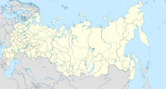
Location map of Russia.
EquiDistantConicProjection : Central parallel :
* N: 54.0° N
Central meridian :
* E: 100.0° E
Standard parallels:
* 1: 49.0° N
* 2: 59.0° N
Made with Natural Earth. Free vector and raster map data @ naturalearthdata.com.
Because the southern Kuril islands are claimed by Russia and Japan, they are shown as disputed. For more information about this see: en:Kuril Islands dispute. These islands are since 1945 under the jurisdiction of the Russian Federation.
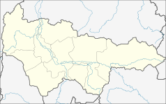
Autor: WWay, Deviritative work from Khanty-Mansiysky AO.png by СафроновАВ (Russian Wikipedia), Licencja: CC BY-SA 3.0
Geolocation map for Khnaty-Mansi's Autonomous District of Yugra (Russia)
Symbol lotniska do legendy mapy


