Port lotniczy Hat Yai
 | |||
| Państwo | |||
|---|---|---|---|
| Miejscowość | |||
| Typ | cywilne | ||
| Właściciel | Airports of Thailand | ||
| Kod IATA | HDY | ||
| Kod ICAO | VTSS | ||
| Wysokość | 27 m n.p.m. | ||
| Statystyki ruchu (2006) | |||
| Liczba pasażerów | 1 278 085 | ||
| Cargo | 10 177 t | ||
| Liczba operacji | 15 008 | ||
| Drogi startowe | |||
| |||
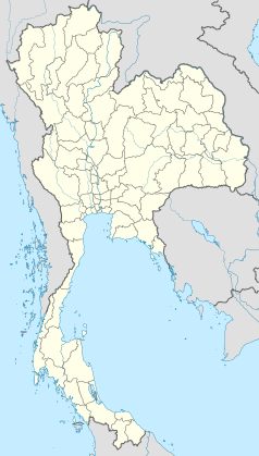
Port lotniczy Hat Yai – międzynarodowy port lotniczy położony 9 km od centrum Hat Yai. Jest jednym z największych portów lotniczych w południowej Tajlandii. W 2006 obsłużył 1,2 mln pasażerów.
Linie lotnicze i połączenia
- AirAsia
- Thai AirAsia (Bangkok-Suvarnabhumi)
- Orient Thai Airlines
- One-Two-GO Airlines (Bangkok-Don Mueang)
- Thai Airways International (Bangkok-Don Mueang)
- Nok Air (Bangkok-Don Mueang, Phuket)
Media użyte na tej stronie
The national flag of Kingdom of Thailand since September 2017; there are total of 3 colours:
- Red represents the blood spilt to protect Thailand’s independence and often more simply described as representing the nation.
- White represents the religion of Buddhism, the predominant religion of the nation
- Blue represents the monarchy of the nation, which is recognised as the centre of Thai hearts.
Symbol lotniska do legendy mapy
Autor: SMasters, Licencja: CC BY-SA 3.0
Hat Yai International Airport, Thailand.


