Port lotniczy Maripasoula
 | |||
| Państwo | |||
|---|---|---|---|
| Departament zamorski | |||
| Miejscowość | |||
| Typ | cywilne | ||
| Kod IATA | MPY | ||
| Kod ICAO | SOOA | ||
| Wysokość | 8 m n.p.m. | ||
| Drogi startowe | |||
| |||
Port lotniczy Maripasoula – trzeci co do wielkości port lotniczy Gujany Francuskiej, zlokalizowany w miejscowości Maripasoula.
Media użyte na tej stronie
Symbol lotniska do legendy mapy
Autor: AlexCad, Licencja: CC BY-SA 3.0
Aéroport de Maripasoula - vue aérienne
Autor: Eric Gaba (Sting - fr:Sting), Licencja: CC BY-SA 3.0
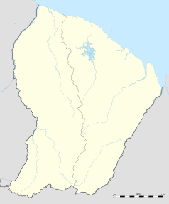
Blank administrative map of the region and department of the French Guiana, France, for geo-location purpose, with arrondissements boundaries.


