Rainbow Theatre
 Zdjęcie z 2008 roku | |
| Państwo | |
|---|---|
| Kraj | |
| Miejscowość | |
| Wyznanie | |
| Kościół | |
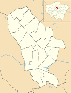
Położenie na mapie gminy Islington Contains Ordnance Survey data © Crown copyright and database right, CC BY-SA 3.0 | |
Położenie na mapie Wielkiej Brytanii (c) Karte: NordNordWest, Lizenz: Creative Commons by-sa-3.0 de | |
Położenie na mapie Wielkiego Londynu Contains Ordnance Survey data © Crown copyright and database right, CC BY-SA 3.0 | |
| 51,562300°N 0,108346°W/51,562300 -0,108346 | |
Rainbow Theatre – dawniej Astoria Theatre, budynek w Finsbury Park w północnym Londynie, miejsce koncertów rockowych od września 1971 do stycznia 1982. Występowali tu tacy artyści, jak The Who (pierwszy koncert po otwarciu Rainbow Theathre w 1971), Iron Maiden (w grudniu 1980 zarejestrowano film koncertowy Live at the Rainbow), Bob Marley & The Wailers, Van Morrison i Queen.
Miejsce to stało się również sławne za sprawą Jimiego Hendriksa, który podpalił tutaj po raz pierwszy swoją gitarę (31 marca 1967[1]). Od 1995 gmach jest świątynią Uniwersalnego Kościoła Królestwa Bożego.
Przypisy
- ↑ Hendrix Strat sells for $575,000. www.musicradar.com, 2008-09-05. [dostęp 2020-05-22]. [zarchiwizowane z tego adresu (2020-05-22)]. (ang.).
Media użyte na tej stronie
(c) Karte: NordNordWest, Lizenz: Creative Commons by-sa-3.0 de
Location map of the United Kingdom
Contains Ordnance Survey data © Crown copyright and database right, CC BY-SA 3.0
Map of Greater London, UK with the following information shown:
- Administrative borders
- Coastline, lakes and rivers
- Roads and railways
- Urban areas
The data includes both primary routes and railway lines.
Equirectangular map projection on WGS 84 datum, with N/S stretched 160%
Geographic limits:
- West: 0.57W
- East: 0.37E
- North: 51.72N
- South: 51.25N
Blue Shield - the Distinctive emblem for the Protection of Cultural Property. The distinctive emblem is a protective symbol used during armed conflicts. Its use is restricted under international law.
Flag of England. Saint George's cross (a red cross on a white background), used as the Flag of England, the Italian city of Genoa and various other places.
Autor: Ewan Munro, Licencja: CC BY-SA 2.0
A famous rock venue of the past, now a church. It's opposite another derelict rock venue, The Sir George Robey.
Contains Ordnance Survey data © Crown copyright and database right, CC BY-SA 3.0
Blank map of the London Borough of Islington, showing electoral wards.
Equirectangular map projection on WGS 84 datum, with N/S stretched 160%
Geographic limits:
- West: 0.15W
- East: 0.07W
- North: 51.58N
- South: 51.515N


