Rameswaram
 | |
| Państwo | |
|---|---|
| Populacja • liczba ludności |
|
| Nr kierunkowy | 4573 |
| Kod pocztowy | 623526 |
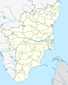
Położenie na mapie Indii | |
Rameswaram (tamil.: இராமேஸ்வரம்) – miasto (38 tys.) w indyjskim stanie Tamilnadu, na wyspie Pamban. Ważne centrum pielgrzymek hinduistycznych, uważane za jedno z najświętszych miejsc hinduizmu, południowo-indyjski odpowiednik Waranasi. Wraz z Badrinath, Dwarką i Świątynia Dźagannatha w Puri stanowi jedno z tzw. Ćar dham – czterech świętych miejsc. W miejscowej świątyni mieści się dźjotirlinga[1], jedna z 12 w Indiach.
Zobacz też
- most Pamban
Przypisy
Linki zewnętrzne
Media użyte na tej stronie
(c) Uwe Dedering z niemieckiej Wikipedii, CC BY-SA 3.0
Location map of India.
Equirectangular projection. Strechted by 106.0%. Geographic limits of the map:
- N: 37.5° N
- S: 5.0° N
- W: 67.0° E
- E: 99.0° E
The Flag of India. The colours are saffron, white and green. The navy blue wheel in the center of the flag has a diameter approximately the width of the white band and is called Ashoka's Dharma Chakra, with 24 spokes (after Ashoka, the Great). Each spoke depicts one hour of the day, portraying the prevalence of righteousness all 24 hours of it.
Autor: AbhinaySriram, Licencja: CC BY-SA 4.0
the view is from east
Autor: Jyothis, Licencja: CC BY-SA 3.0
The Corridor of 1000 pillars insider Rameswaram Temple, Tamlinadu, India.
Autor: Maximilian Dörrbecker (Chumwa), Licencja: CC BY-SA 3.0
Location map of Tamil Nadu


