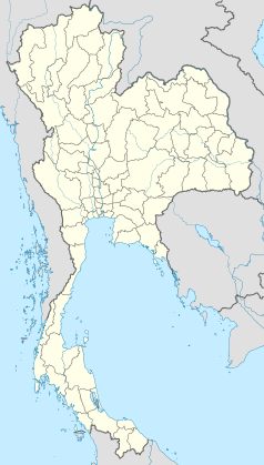
Rangsit
 | |
| Państwo | |
|---|---|
| Region | Tajlandia Centralna |
| Populacja • liczba ludności |
|
| Strona internetowa | |
Rangsit (taj. รังสิต) – miasto w południowej Tajlandii w regionie Tajlandia Centralna, w prowincji Pathum Thani. W 2019 roku liczyło 85 260 mieszkańców.
Media użyte na tej stronie
The national flag of Kingdom of Thailand since September 2017; there are total of 3 colours:
- Red represents the blood spilt to protect Thailand’s independence and often more simply described as representing the nation.
- White represents the religion of Buddhism, the predominant religion of the nation
- Blue represents the monarchy of the nation, which is recognised as the centre of Thai hearts.
Autor: Heinrich Damm (User:Hdamm, Hdamm at de.wikipedia.org), Licencja: CC BY-SA 4.0
Map of Rangsit canal system, Pathum Thani province, central Thailand


