Romagnieu
| miejscowość i gmina | |
 | |
| Państwo | |
|---|---|
| Region | |
| Departament | |
| Okręg | |
| Kod INSEE | 38343 |
| Powierzchnia | 17 km² |
| Populacja (1990) • liczba ludności |
|
| • gęstość | 66 os./km² |
| Kod pocztowy | 38480 |
Położenie na mapie Isère  | |
Położenie na mapie Francji  | |
Położenie na mapie regionu Owernia-Rodan-Alpy  | |
| Portal | |
Romagnieu – miejscowość i gmina we Francji, w regionie Owernia-Rodan-Alpy, w departamencie Isère.
Według danych na rok 1990 gminę zamieszkiwały 1 122 osoby, a gęstość zaludnienia wynosiła 66 osób/km² (wśród 2880 gmin regionu Rodan-Alpy Romagnieu plasuje się na 718. miejscu pod względem liczby ludności, natomiast pod względem powierzchni na miejscu 653.).
Bibliografia
- Francuski urząd statystyczny. (fr.).
Media użyte na tej stronie
Isere department location map.svg
Autor: Pedro38, Licencja: CC BY-SA 3.0
Blank administrative map of the department of Isère, France, for geo-location purpose.
Autor: Pedro38, Licencja: CC BY-SA 3.0
Blank administrative map of the department of Isère, France, for geo-location purpose.
France location map-Regions and departements-2016.svg
Autor: Superbenjamin, Licencja: CC BY-SA 4.0
Blank administrative map of France for geo-location purpose, with regions and departements distinguished. Approximate scale : 1:3,000,000
Autor: Superbenjamin, Licencja: CC BY-SA 4.0
Blank administrative map of France for geo-location purpose, with regions and departements distinguished. Approximate scale : 1:3,000,000
Auvergne-Rhône-Alpes region location map.svg
Autor: Flappiefh, Licencja: CC BY-SA 4.0
Carte administrative vierge de la région Auvergne-Rhône-Alpes, France, destinée à la géolocalisation.
Autor: Flappiefh, Licencja: CC BY-SA 4.0
Carte administrative vierge de la région Auvergne-Rhône-Alpes, France, destinée à la géolocalisation.
.svg)
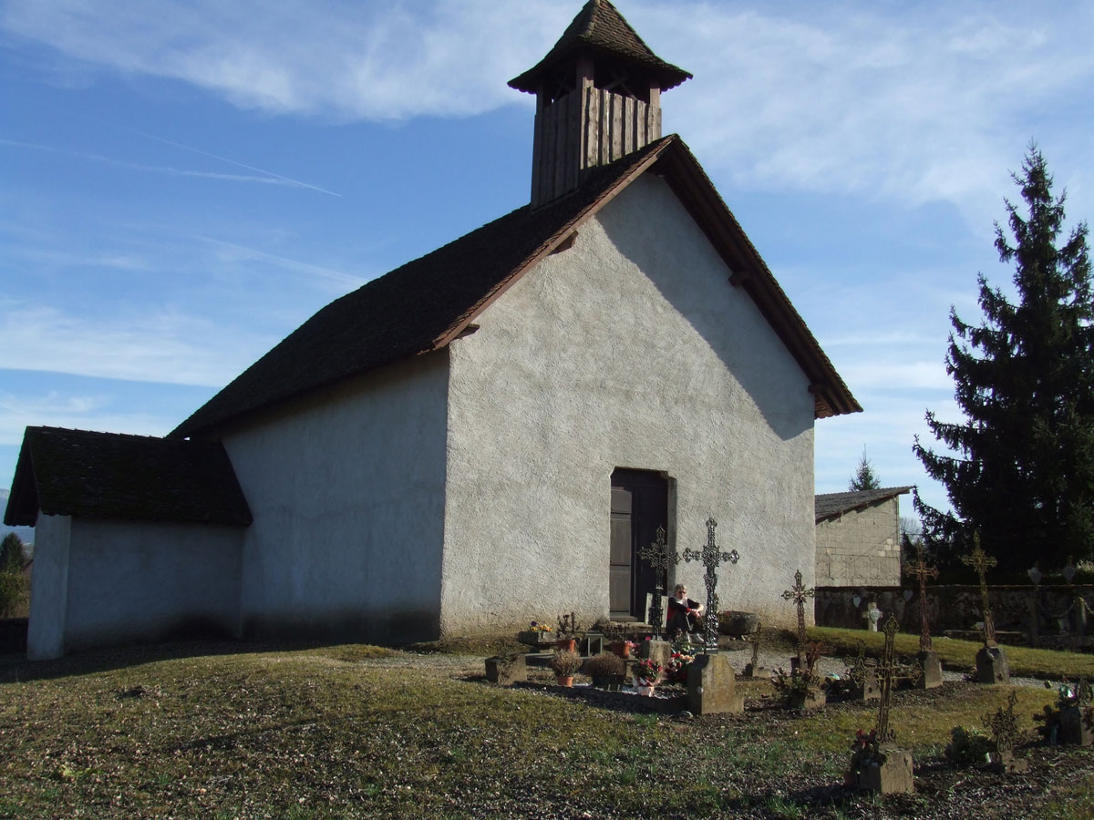
Avaux-Romagnieu.jpg
Autor:
,
Licencja: CC BY-SA 3.0
Chapelle d'Avaux sur le territoire de Romagnieu en Rhône-Alpes (France)
Autor:

|
This illustration was made by louis-garden
Please credit this : louis-garden An email to More pictures (not free) at My Photos Site |
Chapelle d'Avaux sur le territoire de Romagnieu en Rhône-Alpes (France)