Saint-Laurent-du-Maroni
| |||
 kościół w Saint-Laurent-du-Maroni | |||
| |||
| Państwo | |||
| Departament zamorski | |||
| Powierzchnia | 4 830 km² | ||
| Wysokość | 2-15 m n.p.m. | ||
| Populacja (2013) • liczba ludności • gęstość | 33 461 7 os./km² | ||
| Kod pocztowy | 97320 | ||
| Strona internetowa | |||
| Portal | |||
Saint-Laurent-du-Maroni – miasto i gmina w Gujanie Francuskiej; około 33,4 tys. mieszkańców (2013)[1]. Drugie co do wielkości miasto departamentu. W mieście znajduje się przejście graniczne z Surinamem, po drugiej stronie rzeki leży surinamskie miasto Albina. Od 1983 urząd mera Saint-Laurent-du-Maroni sprawuje Léon Bertrand.
Przypisy
- ↑ World Gazetteer. [dostęp 2013-01-05]. [zarchiwizowane z tego adresu (2013-01-05)].
Linki zewnętrzne
- Oficjalna strona miasta (fr.)
Media użyte na tej stronie
Autor: Psu973, Licencja: CC BY-SA 3.0
This building is indexed in the base Mérimée, a database of architectural heritage maintained by the French Ministry of Culture, under the reference PA00135692
Autor: Eric Gaba (Sting - fr:Sting), Licencja: CC BY-SA 3.0
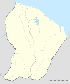
Blank administrative map of the region and department of the French Guiana, France, for geo-location purpose, with arrondissements boundaries.
Autor: Benzebuth198, Licencja: CC BY-SA 3.0
Blason de la commune de Saint Laurent du Maroni
Autor: User:Kimdime69, Licencja: CC BY 2.5
Map of the commune of Saint Laurent du Maroni (French Guiana)


