Samut Prakan
 | |||
| |||
| Państwo | |||
|---|---|---|---|
| Region | |||
| Powierzchnia | 190.5 km² | ||
| Populacja (2013) • liczba ludności • gęstość |
| ||
| Strona internetowa | |||
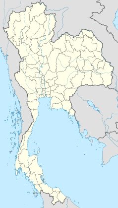
Samut Prakan (tajski: สมุทรปราการ) – miasto w południowej Tajlandii, przy ujściu rzeki Menam do Zatoki Tajlandzkiej, ośrodek administracyjny prowincji Samut Prakan. Około 471,3 tys. mieszkańców (2013)[1]. Drugie co do wielkości miasto kraju. Przemysł spożywczy, papierniczy, mineralny, elektrotechniczny; hutnictwo żelaza i metali nieżelaznych; morski port handlowy (obsługujący Bangkok) i rybacki; baza marynarki wojennej; muzeum; farma krokodyli.
Przypisy
- ↑ World Gazetter: Samut Prakan. [dostęp 2013-05-28]. [zarchiwizowane z tego adresu (2013-06-25)].
Media użyte na tej stronie
The national flag of Kingdom of Thailand since September 2017; there are total of 3 colours:
- Red represents the blood spilt to protect Thailand’s independence and often more simply described as representing the nation.
- White represents the religion of Buddhism, the predominant religion of the nation
- Blue represents the monarchy of the nation, which is recognised as the centre of Thai hearts.
Autor: User:Mattes, Licencja: CC BY-SA 3.0
Straßenszene in der Provinz Samut Prakan, Thailand.


