Santiago Tianguistenco
| ||
 | ||
| Państwo | ||
| Stan | ||
| Data założenia | XVI w | |
| Prawa miejskie | 1820 | |
| Burmistrz | Alfredo Rodríguez Castro | |
| Powierzchnia | 121,530 km² | |
| Populacja (2005) • liczba ludności | 64 356 | |
| Kod pocztowy | 52600 | |
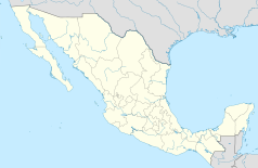
Santiago Tianguistenco – miasto i gmina w Meksyku, w stanie Meksyk. W 2005 liczyło 64 356 mieszkańców.
Media użyte na tej stronie
Autor: AlejandroLinaresGarcia, Licencja: CC BY-SA 4.0
View of the Day of the Dead market with church in the background in Santiago Tianguistenco, Mexico State
Flag of the State of Estado de Mexico, Mexico.
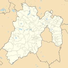
Location Map of Estado de México Equirectangular projection, Geographic limits of the map:
- N: 20.37° N
- S: 18.26° N
- W: 100.68° W
- E: 98.44° W


