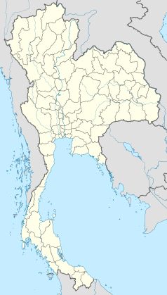
Saraburi
| Ten artykuł od 2014-04 wymaga zweryfikowania podanych informacji. |
 | |
| Państwo | |
|---|---|
| Populacja • liczba ludności |
|
| Kod pocztowy | 18000 |
| Strona internetowa | |
Saraburi (tajski: สระบุรี) – miasto w środkowej Tajlandii, nad rzeką Pa Sak, ośrodek administracyjny prowincji Saraburi. Około 85 tys. mieszkańców.
Media użyte na tej stronie
The national flag of Kingdom of Thailand since September 2017; there are total of 3 colours:
- Red represents the blood spilt to protect Thailand’s independence and often more simply described as representing the nation.
- White represents the religion of Buddhism, the predominant religion of the nation
- Blue represents the monarchy of the nation, which is recognised as the centre of Thai hearts.
Autor: Ahoerstemeier, Licencja: CC-BY-SA-3.0
Provincial hall of Saraburi, Thailand


