Schneeberg (Smreczany)
| ||
 | ||
| Państwo | ||
| Położenie | Bawaria | |
| Pasmo | Fichtelgebirge | |
| Wysokość | 1 051 m n.p.m. | |
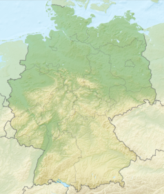
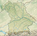
Schneeberg – szczyt w paśmie Fichtelgebirge o wysokości 1051 m n.p.m., na zboczach którego znajdują się źródła rzeki Ochrza.
Bibliografia
- Rainer H. Schmeisser: Der Schneeberg, Beiträge zur Geschichts- und Landeskunde des Fichtelgebirges Nr. 1, Regensburg 1979
Media użyte na tej stronie
Relief Map of Germany.png
Autor: derivative work Виктор_В, Licencja: CC BY-SA 3.0
Relief map of Germany
Autor: derivative work Виктор_В, Licencja: CC BY-SA 3.0
Relief map of Germany
U+25B2.svg
Black up-pointing triangle ▲, U+25B2 from Unicode-Block Geometric Shapes (25A0–25FF)
Black up-pointing triangle ▲, U+25B2 from Unicode-Block Geometric Shapes (25A0–25FF)
Bavaria relief location map.jpg
Autor: Grundkarte TUBS, Relief Alexrk2, Licencja: CC BY-SA 3.0
Physical Location map Bavaria, Germany. Geographic limits of the map:
Autor: Grundkarte TUBS, Relief Alexrk2, Licencja: CC BY-SA 3.0
Physical Location map Bavaria, Germany. Geographic limits of the map:


